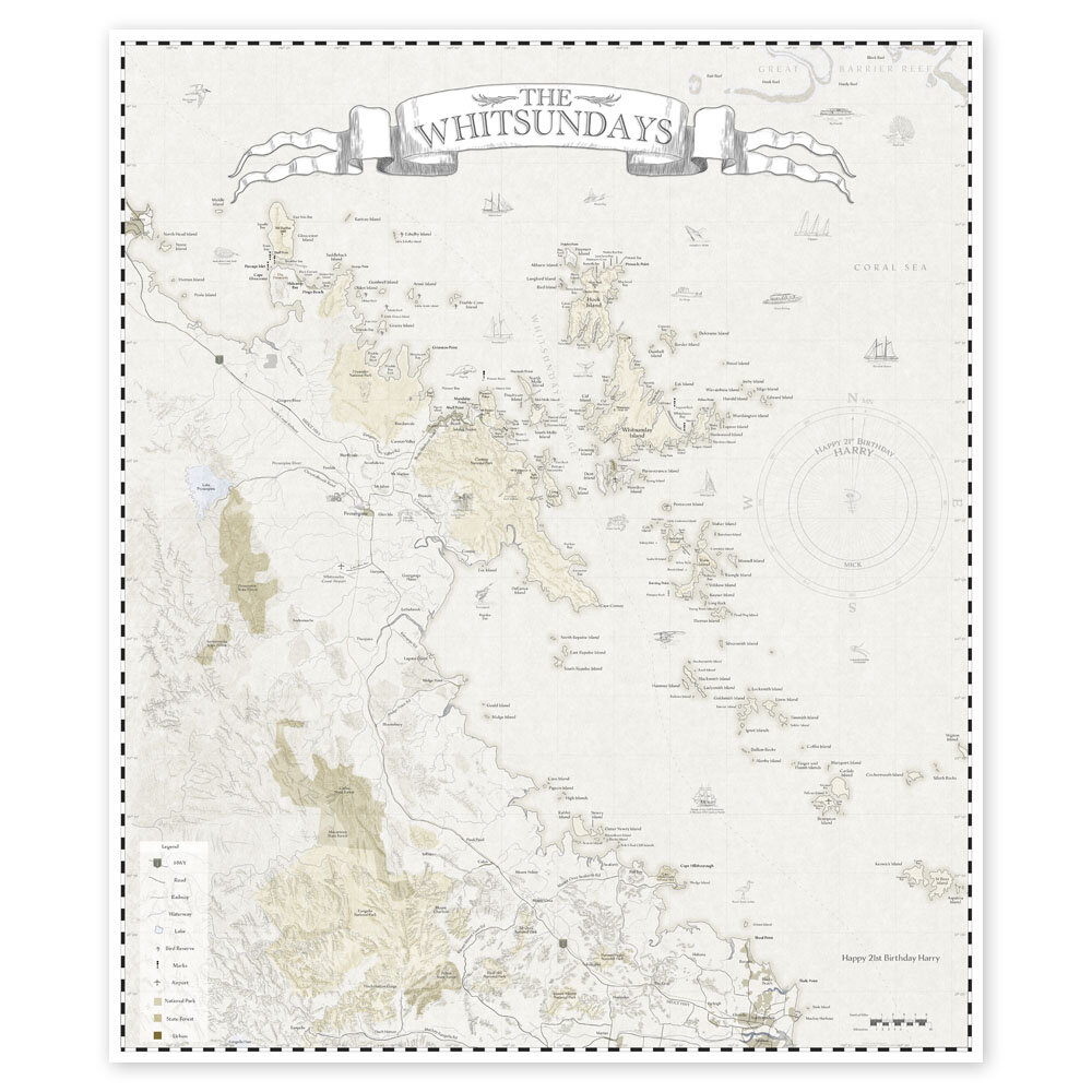
Whitsunday Islands Maps & Cards
Everyone loves a map and this map showing the islands of the Whitsundays is very special. Hand drawn and printed in our studio it is available in a modern colour scheme and a retro old world sepia. The islands we call the Whitsundays today were named the Cumberland Isles by James Cook in 1770 and the route he took through the islands he named Whitsunday Passage. (Whitsunday because it was close to the Pentecost celebration day ‘Whit Sunday’). The islands have been used by the Ngaro for millennia. Coral reefs, whales, resorts and Whitehaven Beach entice people from around the world to visit this predominantly National Park protected island paradise.
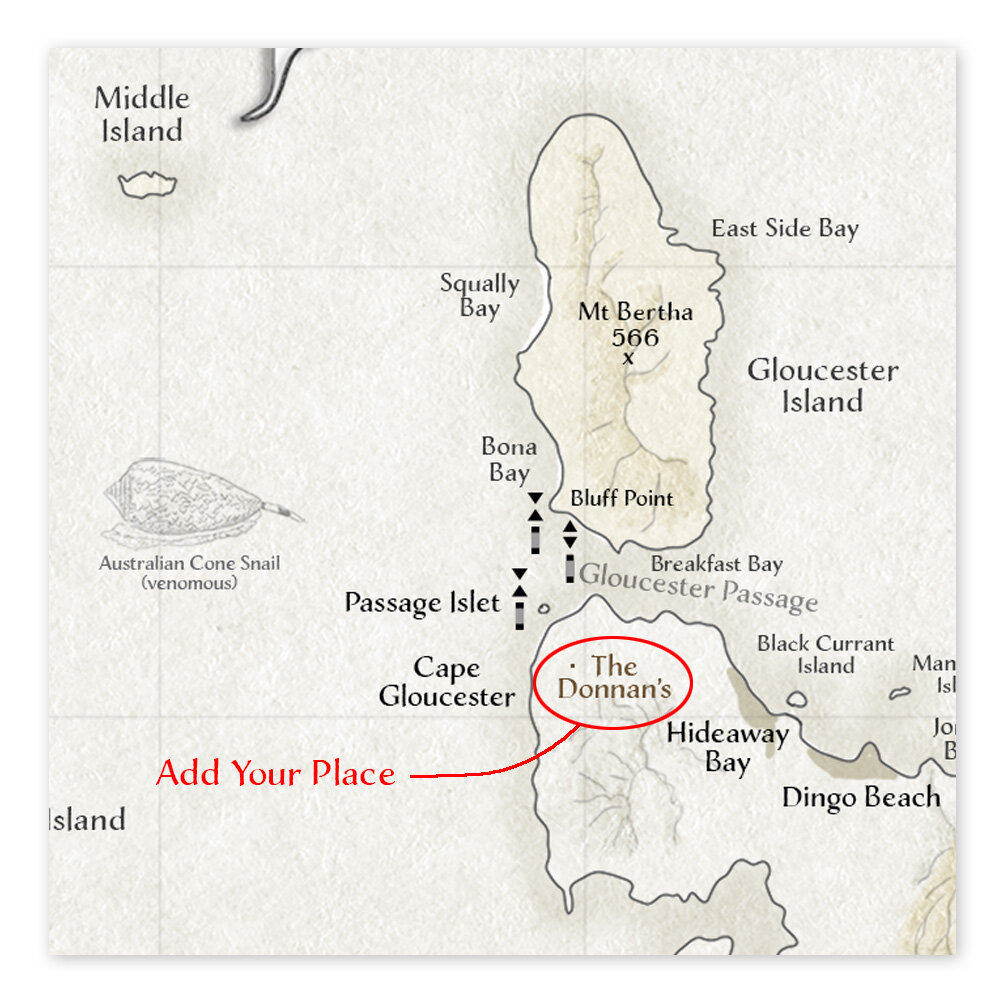
133 Islands, 64 Bays and features such as Whitehaven Beach are shown. The route that Cook took through the islands is shown, together with sketches of the yachts that take visitors through the islands now. Some of the local fauna including our fabulous humpback whales are also shown.
Customise A message such as “Happy Birthday Pete”, a sailing route you took, or your place can be added at the time of order if you email me. (There are limits to this.) Printed on 310gsm cotton rag fine art paper in a mat finish. Several sizes are available. Posted in a tube.